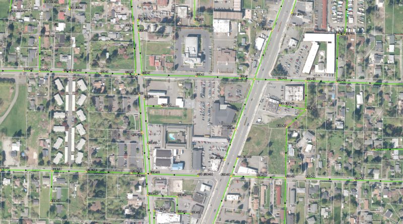
PACE developed a geodatabase for Valley View that is used on a daily basis by the district’s manager for system planning and design, by field technicians locating underground assets, by operations staff when creating work orders, and by front-office staff when assisting customers. With office staff assistance, customers are able to query specific information such as potential connection fees, as-built figures, and location of current or vacated easements.

