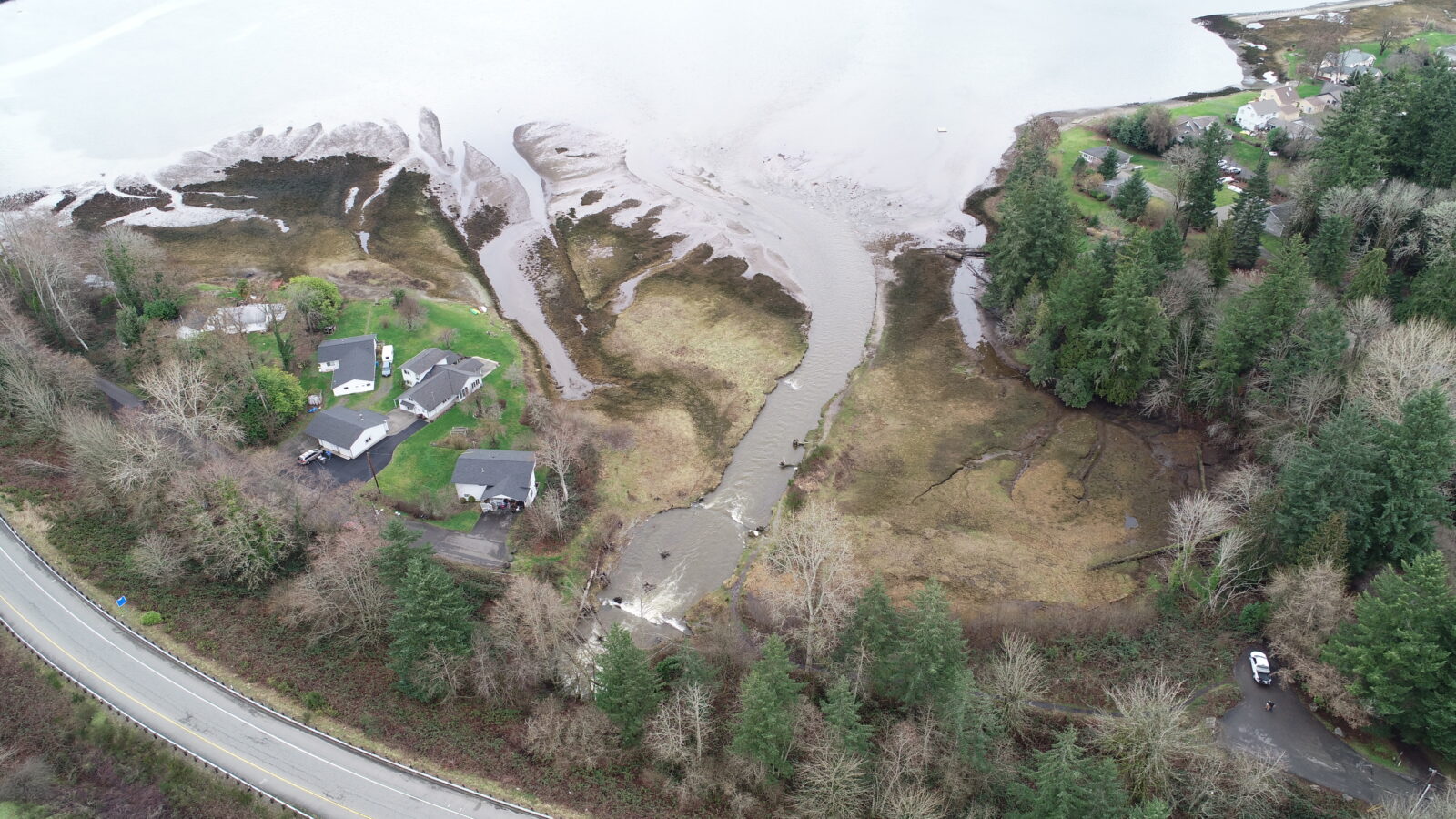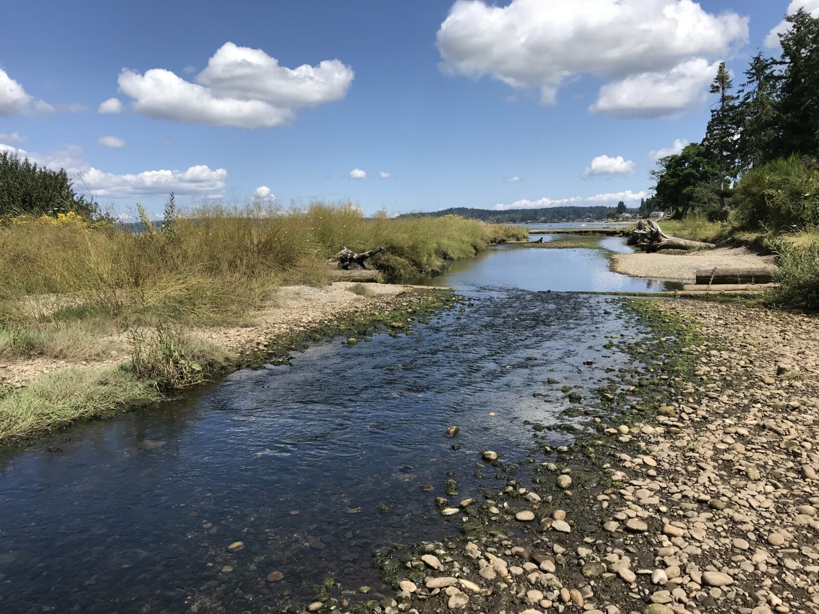
Chico Creek crosses SR 3 and outlets into the Chico Way Estuary in Kitsap County. The existing tributary drains into the creek just upstream of the crossing. Chico Creek is contained primarily in pipes that cross two highway ramps, Chico Way, and a WSDOT access road for a total of four barriers. The mainstem creek is one of the most important chum migration routes in the Puget Sound. The Suquamish Tribe has described this crossing as its “Elwah Dam” for its significance to the local ecology. The project includes:
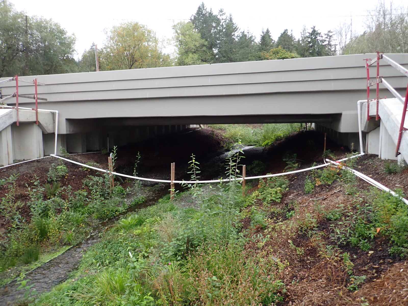
- Replacing the SR 3 crossing of Chico Creek with a full-span bridge with a 200-foot crossing.
- Replacing a Chico Way crossing with a new 39-foot, full-span bridge.
- Redesigning the interchange to relocate the creek and eliminate several crossings.
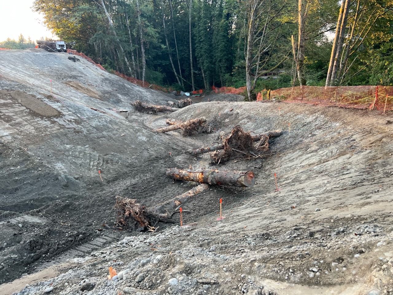
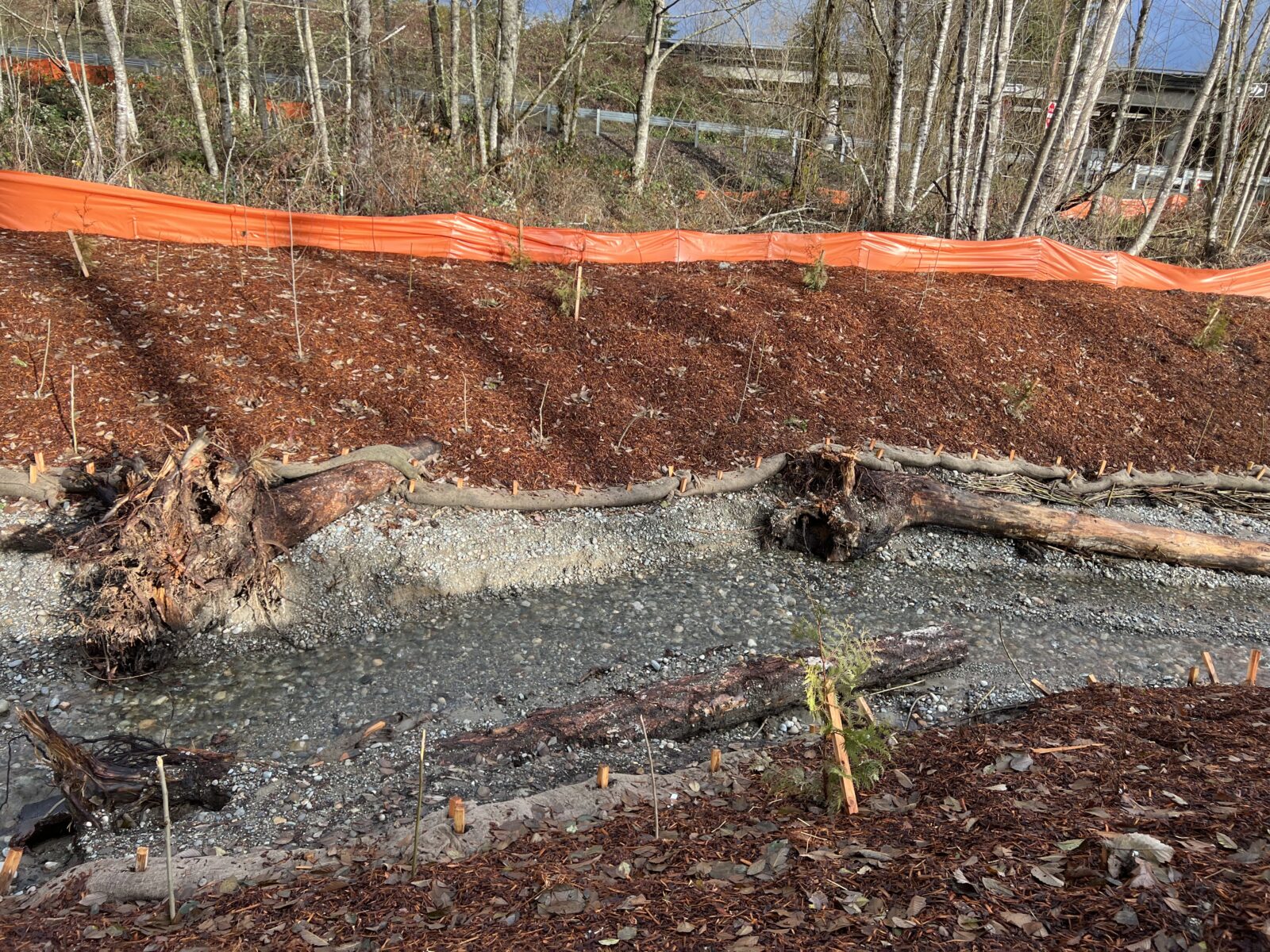
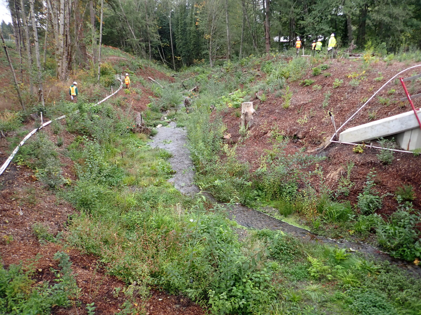
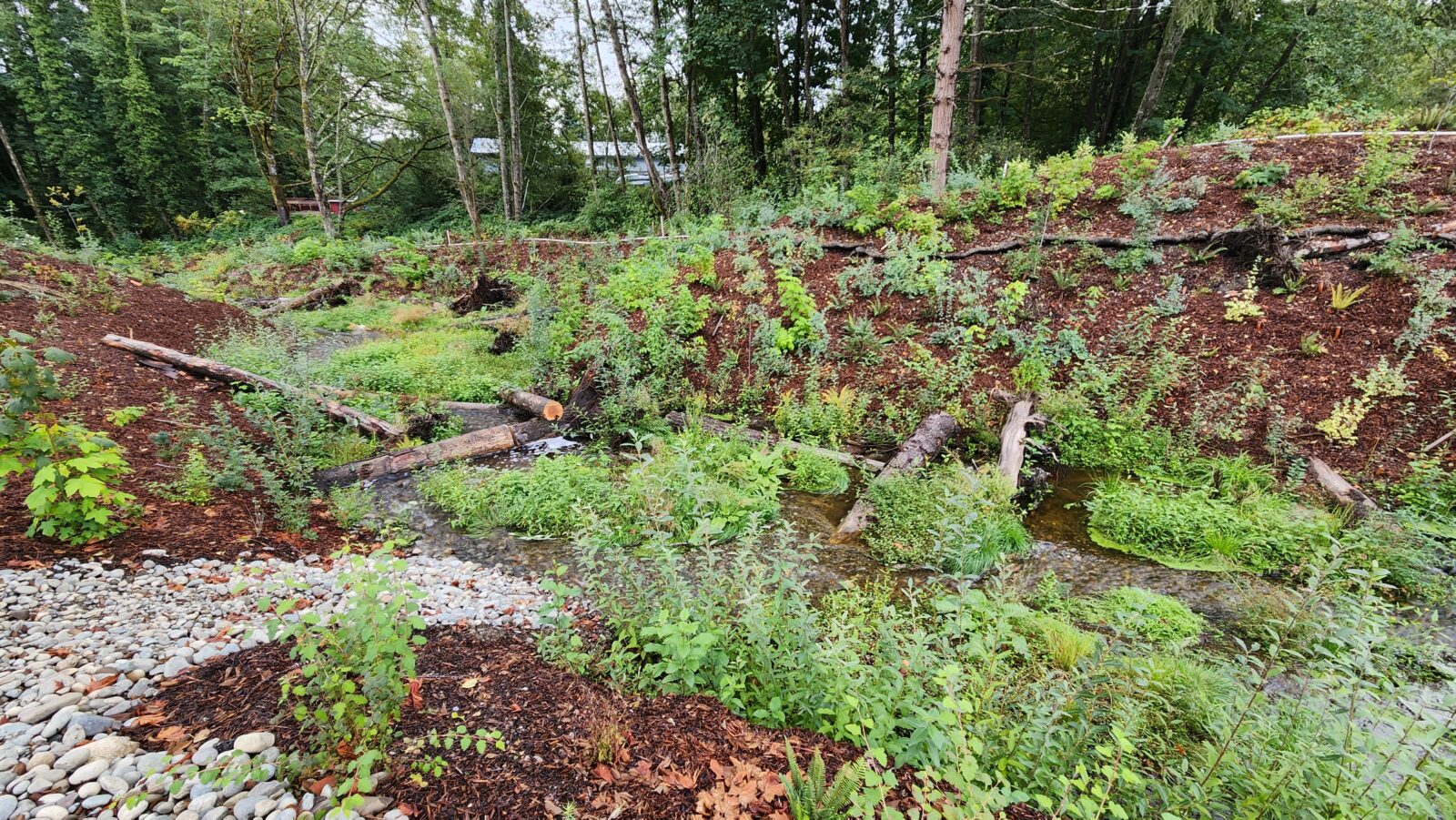
- Daylighting 1,500 feet of stream and contiguous riparian area.
PACE’s water resources engineers provided preliminary and final hydraulic designs, sediment mobility, large woody material placement, stakeholder and agency coordination, permit support, a multi-phase stream diversion plan, and construction support.
PACE’s surveyors provided 3D mobile scanning for 2.6 miles of roadway hardscape, marking a pivotal step in advancing this WSDOT design-build project. Operating within the parameters of an active State Route 3, our survey crews used a terrestrial scanner to supplement the mobile unit and densified high-priority areas. We integrated the information into the previously collected data and consolidated it with sufficient verification shots for design. PACE crews coordinated with the wetland biologist to integrate their mapping data into PACE’s base model with a one-foot contour interval digital terrain model (DTM).