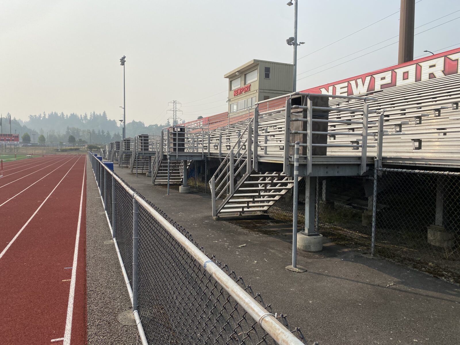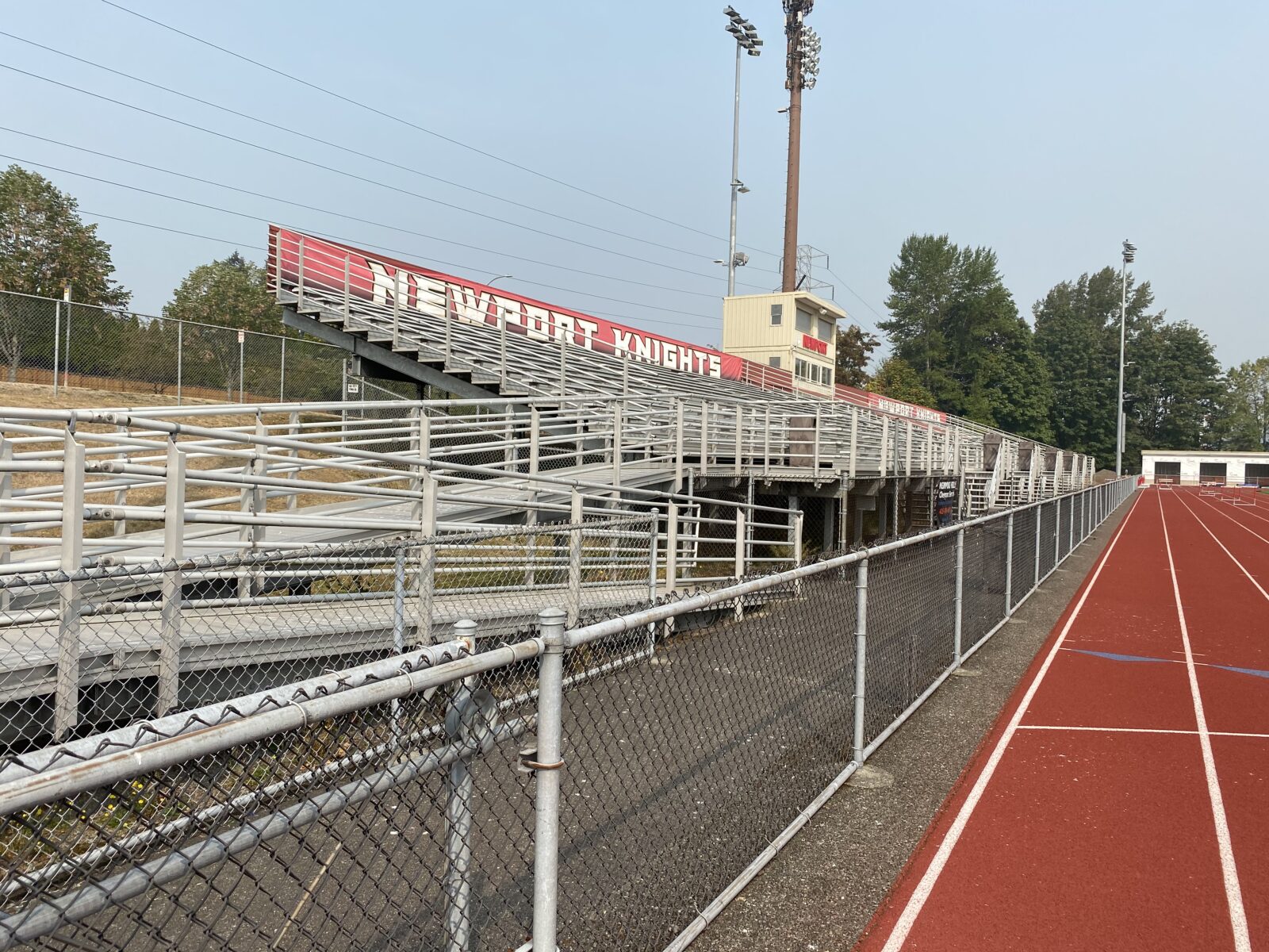
PACE surveyed and mapped the 40-acre site to support engineering and architectural work for an addition to the school. Collaborating closely with the school district and a utility locating firm, we diligently acquired record information and marked underground utility lines. We also resolved the boundary, adjacent rights-of-way, and all plottable easements of record. Given the site’s proximity to busy roadways, we prioritized safety by deploying field crews in teams, adjusting schedules to off-peak traffic hours, and employing remote surveying techniques. Additionally, the existing school building had several unique overhangs that required conventional mapping. For these areas, we used scanners to capture the details necessary for the design. Our efficient approach delivered the finalized basemap to the district on schedule and within budget.